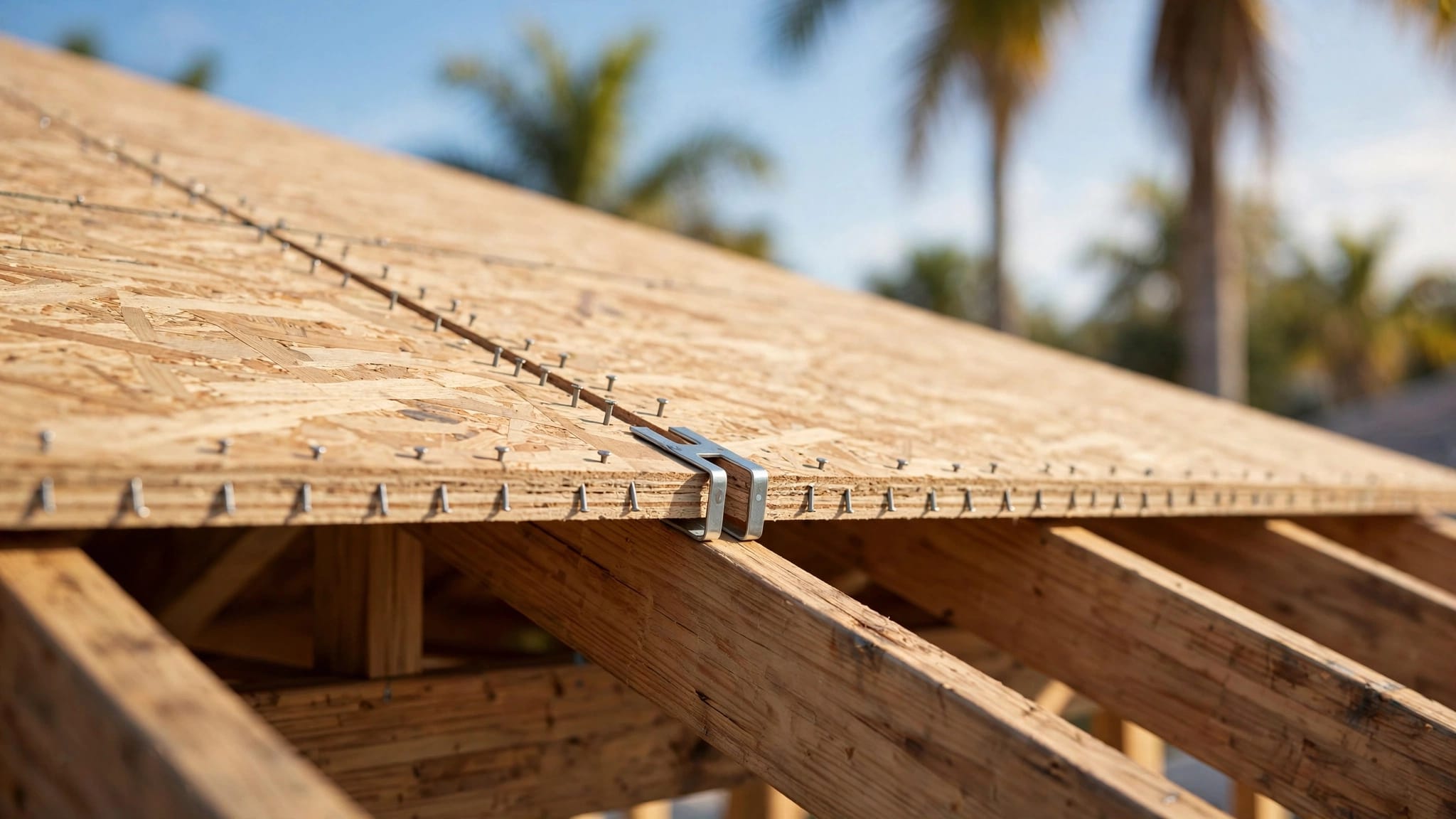
Fort Myers Foundation Stakeout Before Your New Home Foundation
Explore Our Services
Contact Us Today!
(239) 322-9295
A new home can look perfectly placed on paper and still land in the wrong spot without careful field layout. A Fort Myers foundation stakeout transfers the approved home design onto your actual lot before forms, reinforcement, and concrete work begin.
That step protects the building envelope, planned elevations, drainage approach, and room needed for driveways, pools, and outdoor living areas. It also gives the builder a reliable starting point instead of asking a crew to interpret plans from a rough cleared site.
The best stakeouts begin with complete documents, a prepared lot, and clear communication among the builder, engineer, and licensed surveyor.
What a Fort Myers Foundation Stakeout Establishes
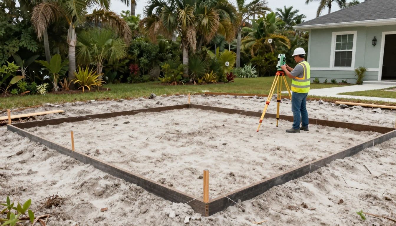
A foundation stakeout places the approved footprint of the home in the field. The surveyor uses control points, instruments, and the approved site and architectural plans to mark building corners, foundation lines, or form-board reference points.
For a Fort Myers foundation stakeout, the goal is simple: the home must be built where the approved plans place it. However, the work behind that goal requires accuracy because the lot may include setbacks, easements, drainage swales, utility routes, and flood-elevation conditions.
It transfers plans to the physical lot
Architectural drawings show the shape and dimensions of the home. A site plan shows where it belongs on the parcel. The surveyor connects those documents to existing boundary evidence and established control on the property.
Wood stakes, hubs, nails, batter boards, and string lines can all play a role. These marks give the construction team reference points for excavation and foundation forms. They are not casual markers. Moving one can shift the work that follows.
It is different from a boundary or final survey
A boundary survey identifies property lines and existing improvements. A topographic survey adds land features such as elevations, swales, ditches, and visible grade changes. Those surveys provide the information needed to design and locate the house.
The stakeout is the construction layout step. Later, a foundation or spot survey may document the slab or foundation's actual location relative to property boundaries. An as-built survey can document the completed improvements where the jurisdiction or project requires it.
Reviewing boundary and topographic surveys for new home lots early helps prevent a layout based on outdated or incomplete site information.
Start With the Approved Plan Set
Stakeout should never start from a preliminary floor plan, a marked-up screenshot, or a verbal instruction. The surveyor needs the approved plan set that governs the work, including the current site plan and any revisions issued during permit review.
A mismatch between plans can create trouble even when each document looks reasonable on its own. For example, a changed driveway location or revised rear lanai may affect the footprint, drainage plan, or available space for a future pool.
Confirm which documents control the layout
The builder should provide the surveyor with the current architectural plan, approved site plan, relevant engineering sheets, and any approved grading or drainage details. If the lot is in a platted subdivision, the plat and recorded restrictions may also affect placement.
Check revision dates before anyone sets stakes. A plan revision after the original survey work can change dimensions, wall locations, finished-floor elevation, or site features. Using an old sheet is one of the easiest ways to create avoidable rework.
Give each professional a clear role
The licensed surveyor establishes the building location and field controls from the approved information. The builder coordinates the schedule, protects the layout, and directs the construction crew. The engineer's design controls structural details and, where applicable, drainage, grading, and elevation conditions.
Homeowners can support the process by asking one direct question before stakeout: "Are the surveyor, builder, and engineer working from the same approved plans?" That question can uncover missing revisions before crews and equipment arrive.
Check Flood, Drainage, and Lot Conditions First
Fort Myers and Lee County lots demand more than a flat-looking building area. Water movement, fill, low areas, flood data, and finished-floor elevation can affect a home's placement and foundation approach.
Lee County's flood information resources include a "Find My Flood Zone" tool. Flood zone information and required finished-floor elevations often appear in project documents, but the approved drawings for your property remain the controlling reference.
Keep the house within its approved envelope
The building envelope is the area where the home may be placed under the approved plan. It accounts for property lines, setbacks, easements, and other restrictions that apply to the parcel.
Generic setback numbers found online aren't enough for construction decisions. Requirements vary by jurisdiction, zoning district, subdivision plat, easements, and the specific approval for the project. The surveyor and builder should work from the approved site plan, not an assumed distance.
For a new build, Fort Myers new home construction planning should connect the home's footprint with the driveway, outdoor areas, utilities, and long-term use of the lot.
Respect grades and drainage paths
A cleared lot can hide subtle drainage features. Swales, ditches, retention areas, culverts, and nearby grades may guide stormwater across or away from the property. Rough grading can also change the site after an earlier survey.
The engineer may set elevations and grading details that the builder must follow. Therefore, don't treat the foundation location as separate from drainage. Moving the house even slightly can affect walkways, driveway slopes, roof runoff, pool placement, and yard drainage.
A foundation layout can be correct in horizontal position but still create problems if crews ignore the approved elevation and drainage information.
Prepare the Lot Before the Surveyor Arrives
A clean, accessible site lets the survey crew work accurately and gives the builder a clear layout to protect. Heavy rain, standing water, fresh fill, stored materials, and equipment traffic can all complicate the visit.
Coordinate the date after rough clearing and site access are ready, but before excavation or form work begins. The builder should also confirm that no active work will disturb the layout immediately afterward.
Make access and reference points available
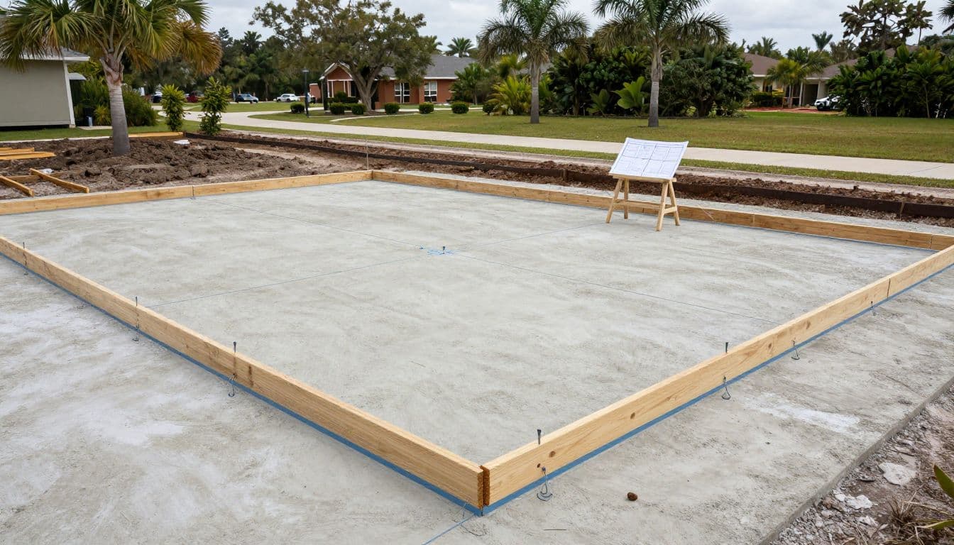
Survey crews need safe access to the lot and enough visibility for their equipment. Tall vegetation, piles of debris, parked machinery, and stacked materials can block sight lines or cover existing monuments.
The team should locate boundary markers and previously established benchmarks before field work, when possible. If rough grading, clearing, or erosion has altered the lot since the survey, tell the surveyor before the appointment.
Use this pre-stakeout checklist
Before the Fort Myers foundation stakeout, confirm the following items with your builder:
- The surveyor has the latest approved site, architectural, structural, and drainage plans.
- The lot is accessible, cleared enough for line-of-sight work, and free of stored materials in the planned footprint.
- The builder has identified any plan revisions, grade changes, utility conflicts, or added features such as a pool or detached structure.
- Existing survey markers and benchmarks have not been covered, damaged, or assumed to be correct without verification.
- The construction schedule allows time to review the stakeout before excavation, forms, or concrete placement.
Prevent Layout Errors Before They Become Concrete Problems
Concrete is hard to move, and a misplaced foundation can trigger expensive corrections. The strongest protection is a deliberate review before construction locks the layout in place.
The builder should walk the marked footprint with the plans in hand. This is the moment to compare the house orientation, garage position, lanai, setbacks, driveway approach, and space reserved for future improvements.
Protect every stake and control point
Once the surveyor completes the layout, treat stakes and offsets as protected construction controls. Don't let equipment operators, delivery drivers, or subcontractors move them to gain access without builder approval.
Batter boards and offset hubs often remain outside the immediate excavation zone so the crew can re-establish form lines after digging. If a stake gets disturbed, call the builder and surveyor. Don't replace it by eye or pull a tape from an unverified reference.
Stop when plans and field conditions disagree
Sometimes a layout reveals a conflict that wasn't obvious during design. The house may appear too close to a planned drainage feature. A revised pool concept may crowd the rear yard. A utility route may cross the intended driveway area.
Pause and document the issue. The builder should bring in the surveyor, engineer, designer, or permitting contact based on the conflict. A written direction tied to the revised approved plans is far safer than a field decision made under schedule pressure.
What Happens After Foundation Layout
After the layout review, the builder uses the stakes and offsets to set excavation limits and form boards. The crew should continue checking the plan dimensions, diagonals, elevations, and orientation as the foundation takes shape.
A stakeout marks intent. Field checks during form work confirm that the work still matches that intent after excavation, weather, and site activity.
Plan for later survey documentation
Many projects need additional survey work after the slab or foundation is complete. A foundation or spot survey can show where the constructed improvement sits in relation to lot lines and the approved location.
The timing and required documents depend on the property's jurisdiction and approved permit conditions. Fort Myers, unincorporated Lee County, and Fort Myers Beach can follow different processes. For that reason, the builder should verify the project requirements before work reaches an inspection milestone.
If the project includes a future backyard build, protect enough usable area during layout. Custom pool construction in Fort Myers often depends on early coordination of access, utility lines, drainage, deck elevations, and the home's rear openings.
Key Takeaways for a Confident Foundation Start
A careful Fort Myers foundation stakeout puts the approved home design in the correct place before permanent work begins. It connects survey control, property limits, engineering details, drainage conditions, and construction planning.
Keep the surveyor, builder, and engineer aligned on the latest approved documents. Then protect the field marks and resolve any conflict before excavation or concrete work moves forward.
A well-checked layout gives your new home a sound start because every later phase depends on where the foundation begins.
Frequently Asked Questions
When should foundation stakeout happen?
Foundation stakeout should happen after the lot is accessible and the approved plans are complete, but before excavation, foundation forms, reinforcement, or concrete placement. The builder coordinates the timing with the surveyor and site-work schedule.
Can a builder stake out a new home's foundation?
A builder can mark rough work areas, but a licensed surveyor should perform the construction stakeout when the project requires surveyed placement. The surveyor uses property data and approved plans to establish the building location accurately.
What if a stake is moved or destroyed?
Notify the builder right away. The builder can determine whether the surveyor needs to replace or verify the control. A crew should not guess at the original location, especially after excavation or grading has started.
Does a stakeout replace a final survey?
No. A stakeout lays out the proposed home location before construction. A later foundation, spot, or as-built survey documents completed work when the project or jurisdiction calls for it.