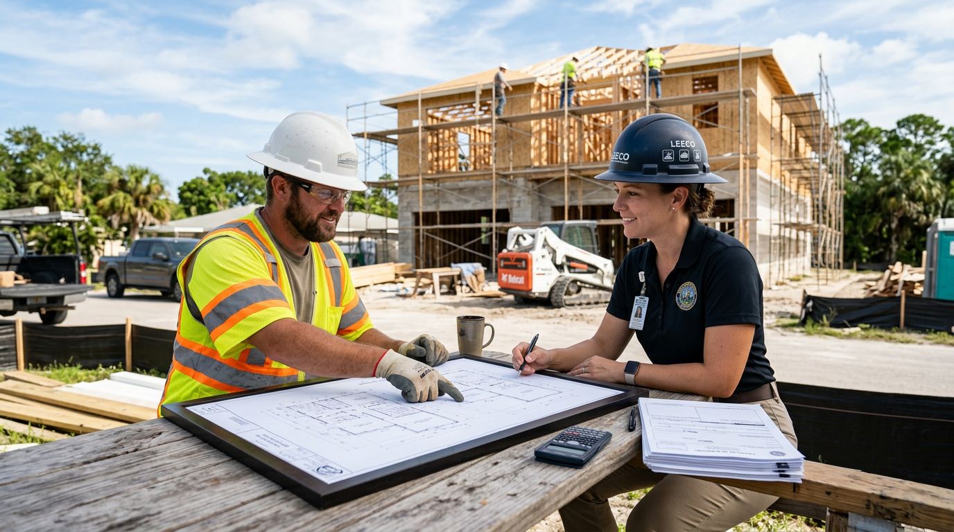



Buying a lot in Southwest Florida can look simple until setbacks, drainage, and flood rules show up on the plan set. The boundary survey vs topographic survey choice matters before the first permit sheet is drawn, because each one answers a different question.
One survey shows where the lot ends and what affects it. The other shows how the land rises, falls, and drains. Pick the wrong one too late, and you can lose time, money, or both.
Key Takeaways
- A boundary survey shows property lines, corners, easements, and encroachments.
- A topographic survey shows elevations, slopes, drainage features, and other site details.
- New home lots often need both, especially when the house, driveway, and drainage all have to fit cleanly.
- In Southwest Florida, water flow and flood-related requirements make survey timing a big deal.
- If your builder uses transparent pricing , survey costs should be easy to see in the budget before construction starts.
What Each Survey Shows on a New Home Lot
Boundary survey: the legal edges of the parcel
A boundary survey defines the lot itself. It identifies the property corners, lot lines, and legal description, then shows easements, rights-of-way, and visible encroachments. That matters because your house, fence, driveway, pool, and screen enclosure all have to fit inside the buildable area.
It also helps catch problems that are easy to miss on paper. A neighbor's fence may sit over the line. A utility easement may run across the back corner. A driveway may already sit closer to a setback than anyone realized. Those details can change where you place the home.
What a boundary survey does not tell you is how the land slopes or where water goes. It is about position, not elevation.
Topographic survey: the shape of the site
A topographic survey maps the land surface. It shows elevations, contours, swales, low spots, high spots, ditches, retaining walls, driveways, and other visible features that matter to site design. On a new home lot, that information helps the civil engineer and builder plan grading, drainage, and finished floor height.
This survey becomes especially useful in Southwest Florida. Even a lot that looks flat can have enough slope to affect runoff and pad height. A few inches can matter when water needs to leave the site and stay out of the garage.
A topo survey also does not settle property lines. It describes the terrain, not the legal edges.
A quick side-by-side view makes the difference easier to spot.
| Item | Boundary Survey | Topographic Survey |
|---|---|---|
| Main purpose | Shows legal property lines and corners | Shows site elevations and land shape |
| Common details | Easements, setbacks, encroachments, rights-of-way | Contours, spot elevations, drainage features, visible improvements |
| Best use | Lot layout, house placement, legal setbacks | Grading, drainage, foundation planning |
| What it does not do | Does not map slope or drainage | Does not confirm exact legal boundaries |
A boundary survey tells you where you can build. A topographic survey tells you how the lot will handle the build.
When You Need Each One During a New Build
Before you buy or close
A boundary survey is often the first smart move if the lot is new to you. It helps confirm the parcel size, the corners, and anything that could affect the buildable area. That is useful before closing because lot lines on a listing sheet do not always match the site in the field.
A topographic survey can help before you buy too, especially if the lot looks low, wet, wooded, or irregular. In those cases, the land itself may create extra grading or drainage work later. That can change your budget more than people expect.
During design and permit drawings
Once the home design starts, the boundary survey becomes the anchor for the whole plan. The house has to sit inside the setbacks, and the driveway, pool, and other improvements need room too. The topo survey then gives the engineer the site data needed for drainage and finished elevations.
This is also where mistakes get expensive. If the site plan changes after the survey, update the survey before filing permits. Mismatched site data is a common reason plans get kicked back, and handling permit review corrections is much easier when everyone is working from the same information.
Do You Need Both Surveys?
For many new home lots, the answer is yes. A boundary survey protects the legal layout. A topographic survey protects the way the home meets the ground. When both are current, the lot, the house design, and the drainage plan line up better.
That matters even on a subdivision lot that looks straightforward. Flat ground can still drain badly. A corner pin can still be missing. An easement can still cut through the exact area where a garage or pool bath was planned.
A later elevation certificate may still be needed for flood-related purposes, but it does not replace either survey. It answers a different question.
What Affects Survey Cost and Timing in Southwest Florida
Survey pricing changes with the work involved. Lot size, shape, tree cover, water access, missing corners, and the amount of detail needed all play a role. A simple rectangular lot with clear access is easier than a waterfront or heavily wooded site. Topographic work also takes longer when the lot is larger or the site has more elevation detail.
Timing matters just as much. If you wait until the plans are almost done, the survey can become the bottleneck. A tighter timeline may cost more, too. If you want a clearer picture of budgeting, 2026 survey and elevation certificate pricing breaks down the factors that move the number up or down.
If you are working with a cost-plus home builder , the survey should be part of the early itemized budget. That kind of transparent pricing helps you see the site costs before the slab, driveway, or drainage work starts. It also reduces the chance of surprise charges when the lot needs more work than expected.
Common Mistakes That Slow Down New Home Lots
A few avoidable mistakes cause most of the headaches.
- An old survey gets reused after the lot has changed, so the site plan no longer matches reality.
- A builder orders only a boundary survey when the engineer needs topo data for drainage and grading.
- Easements, setbacks, and drainage swales get ignored until the permit set is almost complete.
- Survey information gets passed around in different versions, which creates confusion during permit review.
The easiest fix is to start with current site data and keep the builder, surveyor, and engineer on the same page. That saves time and keeps the plan set cleaner.
Choosing a Surveyor and Builder Who Coordinate Well
Ask what the survey includes before you order it. You want to know whether it marks corners, shows easements, includes contour data, and comes in a format your designer can use. Some teams need a PDF. Others need CAD data for site planning.
It also helps to ask when the survey was field-checked and whether the lot has been altered since then. Clearing, staking, or rough grading can change the site enough to matter. A current survey is the one that matches the lot you will actually build on.
When your builder handles site work, the survey should feed the whole process, not sit in a file. Good coordination keeps house placement, drainage, and permit documents aligned from the start.
Conclusion
A boundary survey and a topographic survey do different jobs, but both can shape a new home lot in a big way. One protects the legal edges. The other shows the land the home has to sit on.
In Southwest Florida, where water, grades, and permit details can affect almost every build, the safest path is usually to know both the lines and the land before construction begins. That early step is far cheaper than fixing a problem after plans are drawn.