Fort Myers Boundary Surveys: What They Reveal Before Design
Explore Our Services
Contact Us Today!
(239) 322-9295
A Fort Myers boundary survey gives your design team a measured picture of the property before you settle on a custom-home layout. It can show where the lot begins and ends, identify visible improvements, and help reveal conflicts that affect where you build.
The survey is a starting point, not a finished site plan. Property lines, recorded rights, and local setback rules each play a different role in determining where a home can fit.
Understanding those differences early can help you make design decisions with fewer surprises.
Key Takeaways
A boundary survey establishes the property's surveyed limits and can document visible features near those limits. Recorded easements and other restrictions may also affect the usable space, depending on the documents available and the survey's scope.
Your designer uses that information alongside applicable setbacks and other site data. Together, these details help shape the house, driveway, pool, and outdoor living areas before plans are finalized.
What a Boundary Survey Shows About Your Lot
A survey gives the design team a more reliable starting point than a listing sketch or an estimate based on fences. A Florida licensed surveyor researches and measures the property, then prepares a drawing of the surveyed conditions.

Property lines and lot dimensions
The survey shows the property's boundary and dimensions based on the surveyor's research and field measurements. Those details matter even when a lot looks straightforward from the street.
For example, a parcel may taper toward the back or have a side boundary that runs at an angle. A floor plan that fits one end of the lot might leave too little space at the other. An angled frontage can also affect how the driveway meets the home.
Survey drawings include notes and symbols that explain how the property was measured. Your designer and surveyor can use those details to orient the home on the parcel.
Existing features near the boundaries
The drawing may show visible improvements such as fences, driveways, walls, or existing structures. Depending on the property and the requested scope, features such as a seawall or visible utility facilities may also appear.
These features give the team context for a proposed layout. However, a visible fence doesn't establish ownership by itself, and an existing improvement doesn't automatically have the right to remain where it is.
Easements and Other Recorded Rights
An easement gives someone a right to use part of a property for a particular purpose. For a custom home, its location and terms can be as important as the lot dimensions.
Where easements can affect the design
A utility easement may run along a lot line, while a drainage easement may occupy another part of the property. Depending on its terms, an easement can limit what can be built within it or allow access for maintenance.
That matters when you're planning a garage, pool deck, fence, or screened enclosure. The land may belong to you, but the recorded rights can affect how you use it.
What the survey and documents each contribute
A survey may show easements identified in the records made available to the surveyor. The recorded documents provide the language describing those rights, including any conditions that affect their use.
A survey drawing alone may not explain every restriction, and an easement may not be apparent from the field. For that reason, the survey, title information, plat, and relevant recorded documents belong in the same design discussion. When the language is unclear, a Florida real estate attorney can help interpret it.
Encroachments Can Change the Site Plan
An encroachment occurs when a structure or improvement extends onto property or into an area where its placement creates a conflict. A survey may reveal, for example, that a neighboring fence crosses the surveyed boundary or that an existing driveway extends beyond it.
The drawing can show the relationship between the improvement and the boundary. It doesn't settle who owns the improvement or whether an agreement gives someone the right to keep it there.
That distinction matters before you place a new home close to the affected area. The design team may need to allow room for a resolution, while the owner and appropriate professionals address the property issue.
Encroachments can work in the other direction, too. An existing improvement associated with your lot may extend over a boundary. Finding that condition before design is complete gives you a chance to address it before it affects construction.
How Survey Lines Shape the Building Envelope
The building envelope is the portion of the site available for a proposed structure after applicable limits are considered. The survey provides the boundary reference, but it doesn't establish every limit on its own.
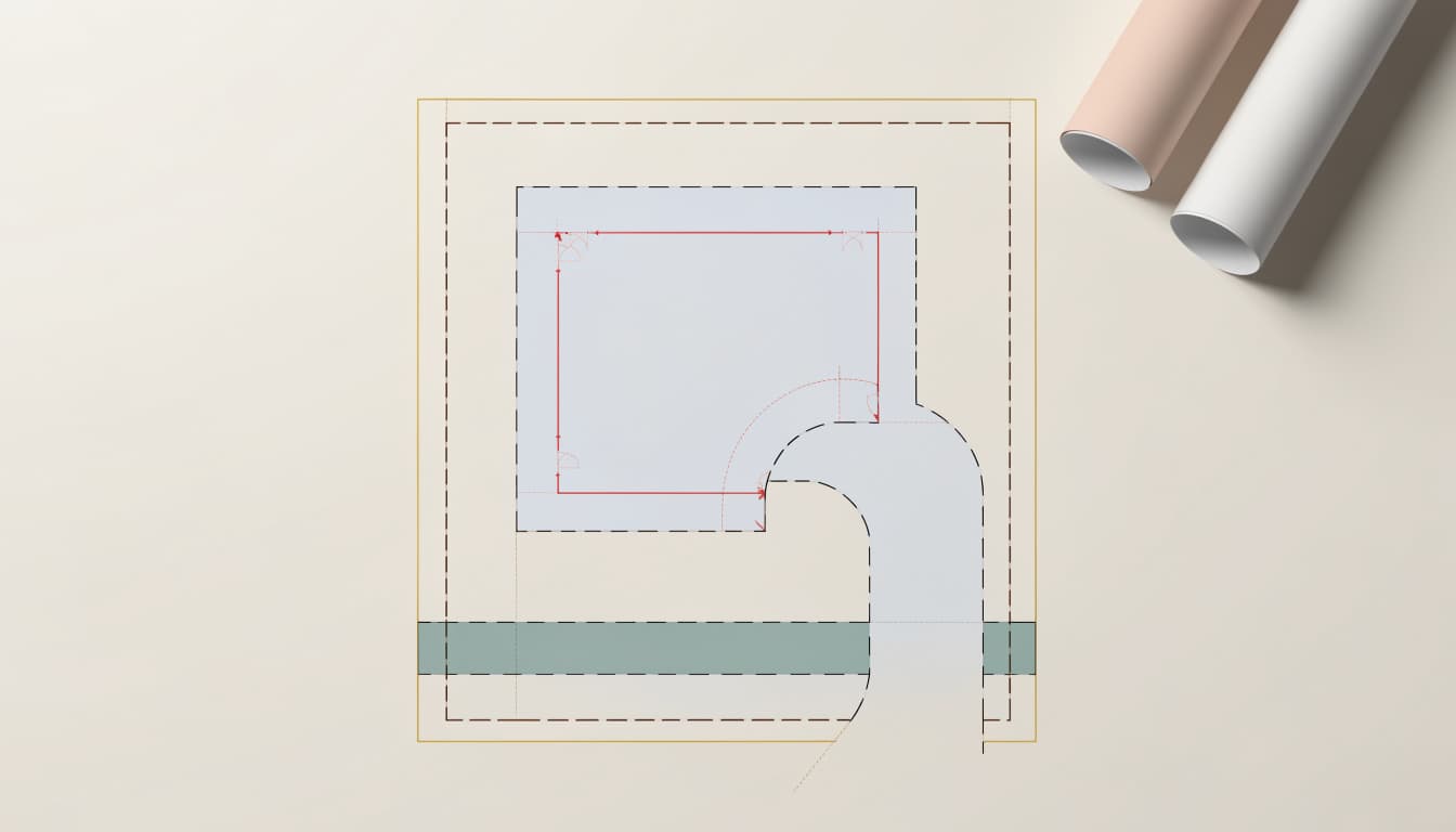
Setbacks are measured from reference lines
Setbacks generally establish how far a structure must be placed from a property line or another applicable reference. Front, side, and rear requirements can differ.
The applicable requirements depend on the property's jurisdiction, zoning, and other circumstances. A Fort Myers mailing address alone doesn't establish which jurisdiction's rules apply.
The survey gives the designer boundary information for applying those requirements. Setbacks aren't necessarily shown on every boundary survey, and the applicable rules may differ for a house, pool, fence, or other improvement.
Restrictions can overlap
A setback and an easement can occupy some of the same ground, but they are different kinds of limits. A setback comes from an applicable rule; an easement comes from a right affecting the property.
Other recorded restrictions may also affect placement. Your team needs to consider the survey and those separate documents together rather than treating the open area on the drawing as automatically available for construction.
Turning the Survey Into a Home Layout
Once the team understands the lot's boundaries and known restrictions, the first design sketches can reflect the property's actual shape. This is the point to discuss how the entire site will work, not only whether the main house footprint fits.
House orientation and access
The survey helps your designer compare possible locations for the home and garage. On a narrow or angled lot, shifting the footprint can change the available space for a driveway, side-yard access, or equipment.
Street access matters, too. A garage location needs a workable connection to the road, while the construction team needs room to bring materials and equipment onto the site. Our guide to narrow-lot access planning looks at these decisions in more detail.
Pool and outdoor living space
If you want an inground pool, lanai, or outdoor kitchen, include those goals in the first layout discussion. A house placed without them in mind may leave a backyard that doesn't accommodate the outdoor space you want.
The pool itself is only one part of the plan. Decking, equipment, a screened enclosure, and access around the home also need room. Showing these elements early helps the designer assess their relationship to boundaries, setbacks, and easements.
Other Site Conditions to Bring Into Design
A boundary survey answers important location questions, but your lot may need additional information before the design team can complete a site plan. The right information depends on the property and the proposed work.
Elevation and drainage
A topographic survey adds information about land elevations and visible features such as swales, ditches, and changes in grade. Those details help the team consider how the house, driveway, and outdoor areas relate to the land.
For instance, a drainage swale may occupy space that looks open in a boundary drawing. Grading the site also involves understanding how water will move around proposed improvements and neighboring property.
Utilities and waterfront features
Existing utility connections, a well, or a septic system can influence the layout when present. On a waterfront property, a canal edge or seawall may also affect how the team plans the rear of the lot.
A boundary survey doesn't necessarily locate underground utilities or provide every detail about existing systems. The surveyor and design team can identify additional information needed for the proposed work rather than assuming a clear area on the drawing is free of constraints.
Boundary Surveys and Construction Stakeout Have Different Jobs
A boundary survey helps establish the property's limits and document relevant existing conditions. A topographic survey adds elevations and land features that support grading and drainage design.
A construction stakeout happens later. It translates the approved design into field reference points for work such as excavation and foundation placement. Stakes and other markers guide the crew as construction begins.
These tasks complement one another, but they aren't interchangeable. A boundary survey doesn't place the foundation forms, and a stakeout doesn't replace the boundary research needed for design. Our guide to foundation stakeout in Fort Myers explains how that later layout step works.
A foundation or spot survey may also document where the foundation was placed relative to the property boundaries. An as-built survey can document completed improvements.
Bringing the Survey Into Your Design Meetings
Share the survey with your designer and builder before committing to a floor plan. Include the available title information and recorded documents so the team can consider property rights alongside the physical drawing.
At Cutting Edge Homes & Renovations, our custom home construction team in Fort Myers can discuss how your priorities fit the site. That conversation is more useful when it includes the garage, pool, outdoor living space, and access needs you already have in mind.
As the design develops, keep the survey and current plans together in the project file. A preconstruction meeting gives the team another opportunity to review the site information alongside the drawings and discuss unresolved layout issues.
Frequently Asked Questions
Is an old survey useful for a new custom home?
An older survey can provide background, but it reflects the conditions and scope documented when it was prepared. Later changes to the property or available records may call for updated survey work.
Does a boundary survey show every setback?
Setbacks aren't necessarily included on a boundary survey. The designer applies the requirements that affect the property using the surveyed boundary and other relevant information.
Can I design the house before ordering a survey?
You can begin discussing your priorities, but a fixed floor plan may need revisions once the team has the surveyed dimensions and site constraints. Early survey information gives the design a more dependable starting point.
Start With the Site, Then Shape the Home
A boundary survey helps turn a lot into a practical starting point for design. It shows the property's measured limits and gives your team a way to assess visible features and known recorded rights.
The strongest early layouts consider the whole property, including the space you want for outdoor living. With the right site information in hand, your home can be designed around the land it will occupy.