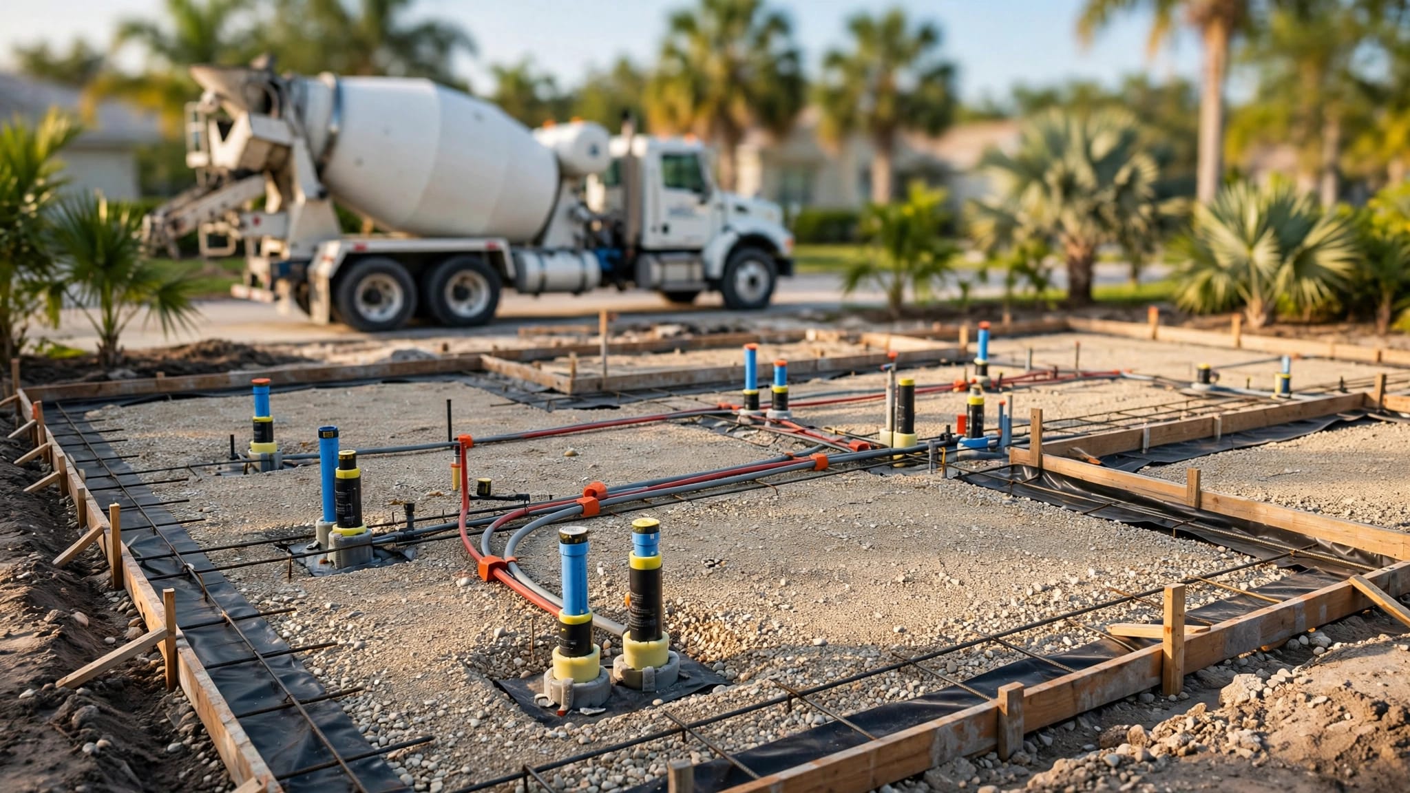
Naples CCCL Rules for Building a New Coastal Home
Explore Our Services
Contact Us Today!
(239) 322-9295
A Gulf-front lot can look ready for construction and still carry coastal restrictions that reshape the entire project. Naples CCCL rules can affect your home footprint, access route, dune work, and permit schedule long before concrete is poured.
For prospective homeowners, the goal is to identify those limits before buying land or finalizing plans. A coastal approval is only one part of the process, yet it can influence every other decision that follows.
Naples CCCL rules: what the line regulates
The Coastal Construction Control Line, or CCCL, is a state-established boundary used to protect Florida's beaches, dunes, and nearby structures from coastal hazards. In Naples, the Florida Department of Environmental Protection established the line on June 28, 1989.
Work seaward of the line may require approval from the Florida Department of Environmental Protection. That can include new construction, excavation, fill, shoreline work, vehicle activity, and other site disturbance.
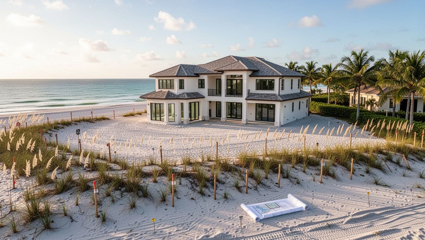
The CCCL is not a property boundary
A CCCL does not replace a lot line, easement, setback, or flood zone boundary. It is a coastal regulatory line that may cross a parcel in a way that leaves only part of the land seaward of it.
That distinction matters when a home, pool deck, driveway, retaining feature, or utility route sits close to the mapped line. A project can affect the regulated area even when the main house footprint appears landward of it.
Construction activity can trigger review
A new house is an obvious concern, but the review can reach beyond the foundation. Clearing, grading, temporary construction access, material storage, dune walkovers, and fill placement may also need review if they occur in the regulated coastal area.
Don't treat open sand as unused land. It may be part of a dune system or a protected natural area that needs to remain undisturbed.
Coastal approval is separate from other Naples permits
A coastal permit does not replace local zoning, building, floodplain, environmental, or utility approvals. Each review looks at a different part of the project, and several agencies may have authority over one homesite.
For parcels within the City of Naples, city coastal review may apply to work west of the CCCL. Collier County also has its own Coastal Construction Setback Line Permit process, often called a CCSP, for applicable work seaward of the county's Coastal Construction Setback Line.
| Review type | Main concern | Possible reviewing authority |
|---|---|---|
| State CCCL review | Coastal construction and site disturbance seaward of the CCCL | Florida Department of Environmental Protection |
| County coastal setback review | Work within the county's coastal setback area | Collier County |
| Local building permit | Building code, plans, structural work, trades, and inspections | City of Naples or Collier County |
| Floodplain review | Flood elevation, foundation, drainage, and flood-resistant construction | City or county floodplain staff |
| Environmental review | Dunes, vegetation, protected habitat, and shoreline conditions | Applicable local, state, or federal authority |
A home can meet zoning setbacks and still need coastal approval. Likewise, a state CCCL permit doesn't grant permission to ignore local height limits, FEMA flood requirements, or environmental conditions.
A building permit is not a substitute for coastal approval, and a coastal permit is not a substitute for a building permit.
Start due diligence before buying the lot
Buying first and investigating later can leave a homeowner with a costly redesign. Before signing a contract, identify whether the CCCL, county coastal setback line, dune system, flood zone, easements, or protected vegetation affect the intended building area.
Locate the control line early
Use the Florida Department of Environmental Protection's current CCCL mapping tools as an early screen. Then ask the appropriate agency how the mapped line applies to the parcel and proposed scope of work.
A map is a starting point, not a permit decision. Boundary accuracy, changing shoreline conditions, the home's placement, and the type of work can all affect agency review.
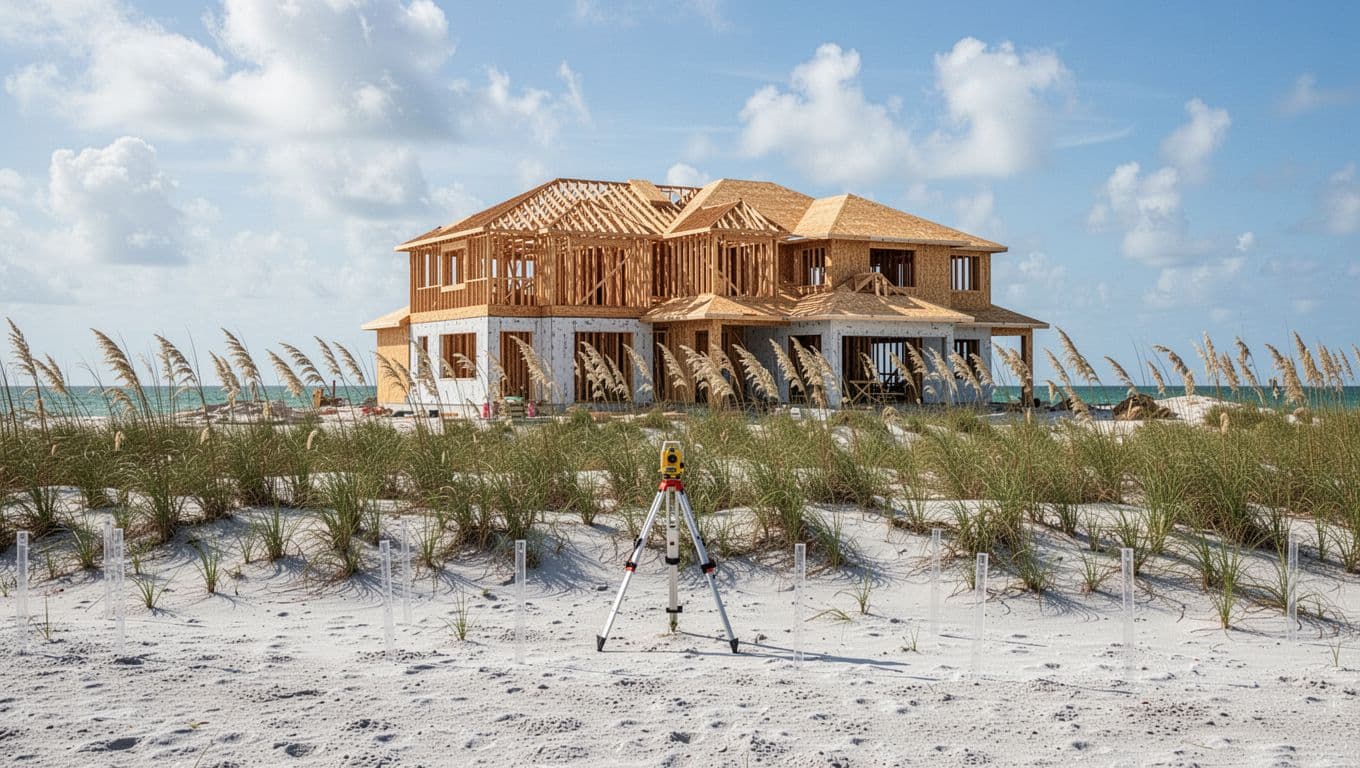
Get a survey that supports real planning
A current survey should give the design team reliable lot dimensions, existing improvements, easements, and visible site features. Coastal parcels often need more detail, such as dune edges, beach vegetation, and the relationship between the proposed home and nearby structures.
Collier County's coastal setback materials call for a site plan that shows the setback line, dune edges, proposed work area, adjacent structures, and vegetation inventory. Ask the surveyor, architect, and builder what information is needed before plans move into engineering.
A Southwest Florida new-home preconstruction checklist can help organize flood, access, utility, drainage, and design questions before the project reaches permitting.
Plan the house around dunes and coastal setbacks
Dunes are more than a scenic buffer between the house and beach. They can help reduce wind-driven sand movement and coastal wave impacts. Their shape, vegetation, and location often affect what a reviewer will allow on the lot.
Keep the dune system visible in the design
The site plan should show both the landward and seaward edges of the dune where they exist. That gives the project team a clearer picture of the area that may need protection during construction.
House placement, pool location, walkways, drainage features, and outdoor living areas should respond to that plan. A rear patio that looks simple on a floor plan may create a coastal issue if it reaches into a dune or regulated area.
Treat setbacks as parcel-specific
Naples CCCL rules are not a single fixed setback table that applies equally to every beachfront parcel. The location of the CCCL, county line, dune edge, lot shape, existing conditions, and proposed construction all matter.
Avoid relying on a neighbor's home as proof that your plan will be approved. Older homes may have different approvals, different site conditions, or construction that predates current requirements.
Coordinate elevation, floodplain, and foundation decisions
CCCL review and floodplain compliance overlap in practical ways, but they are separate approvals. A coastal permit does not establish the finished floor elevation, and a floodplain permit does not answer every coastal construction question.
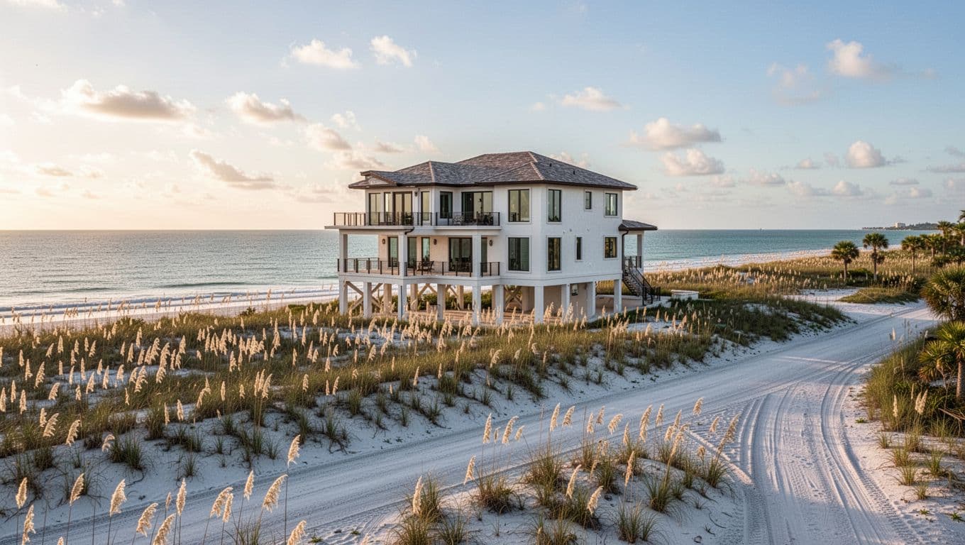
Flood maps affect how the home meets the ground
FEMA flood zones can shape the foundation system, finished floor elevation, utility placement, enclosure design, and drainage approach. Coastal high-hazard areas often need more careful structural and flood-resistant design than inland sites.
Review how FEMA flood zones affect new construction before finalizing a budget or choosing a foundation concept. Current map data, local floodplain rules, engineering, and site conditions all need to align.
Don't design elevation in isolation
A raised home may need stairs, parking, mechanical equipment, ramps, drainage paths, and access routes that fit within the approved site plan. Those features can affect the coastal review area as much as the foundation itself.
Start elevation planning with the survey, flood information, and preliminary site layout. Waiting until structural plans are nearly complete can force changes to the entry, garage, lower-level enclosure, or outdoor living area.
Set the permit sequence before ordering materials
Coastal projects move more smoothly when the surveyor, designer, engineer, builder, and permitting contacts work from the same current plan set. The order can vary by parcel, but early coordination reduces conflicting comments.
Begin coastal review before the site is committed
Ask early whether the Florida Department of Environmental Protection, Collier County, the City of Naples, or another authority needs to review the project. A preliminary discussion can identify required plans, studies, authorizations, and site conditions before the building permit package is complete.
A practical permit path often follows this order:
- Confirm mapped coastal lines, flood information, jurisdiction, and existing site conditions.
- Prepare a survey-based site plan with the proposed house, access, utilities, dune areas, and other improvements.
- Submit coastal applications and respond to agency comments before starting regulated work.
- Coordinate zoning, floodplain, environmental, structural, and building permit documents with approved coastal plans.
- Hold required pre-construction meetings and begin only after the required approvals are in place.
Collier County's process generally calls for applicable federal, state, and local permits before construction and before the pre-construction meeting, unless the county allows another arrangement. Don't schedule clearing, piling, or delivery access based only on a pending application.
Coastal permits also work alongside hurricane-zone requirements for new home design. Wind design, product approvals, roof assemblies, and impact protection remain part of the local building review.
Protect dunes when planning access and staging
Site access deserves as much attention as the house footprint. Contractors need a route for workers, equipment, materials, dumpsters, and inspections, yet that route cannot assume use of a dune, beach, or protected area.
Put the access route on the site plan
Identify where trucks enter, where equipment turns, and where materials will sit during construction. If the only apparent access crosses a dune or natural area, ask the reviewing agencies what options are allowed before committing to the plan.
Temporary fencing, staging areas, and erosion-control measures may also need to follow permit conditions. Keep the actual field layout consistent with approved plans, because a workable construction route on paper can fail if it ignores the site's physical limits.
If a project needs a vehicle on the beach, Collier County may require a Vehicle on the Beach permit. County materials state that this work must be permitted and completed before sea turtle nesting season, which runs from May 1 through October 31. Confirm current restrictions with the county and other reviewing agencies before planning beach access.
Prepare for inspections and field changes
Coastal construction doesn't end when permits are issued. Conditions attached to approvals may affect how the site is protected, accessed, restored, and inspected during the build.
Keep approved plans available on site
The superintendent and subcontractors should know where the regulated area begins and what activities are limited there. A marked site boundary can prevent an avoidable mistake involving vegetation, fill, equipment, or storage.
Building inspections, floodplain documentation, coastal conditions, and local inspections may occur on different schedules. If a reviewer requires elevation records, as-built information, restoration work, or additional documentation, keep those items organized throughout construction.
Review changes before acting on them
A field change that feels small can create a coastal permitting issue. Moving a walkover, shifting a pool, adding a retaining feature, changing drainage, or relocating a driveway may affect the approved work area.
Contact the appropriate agency and project professionals before making changes seaward of a regulated line. Written direction is far safer than assuming a revised site condition will be accepted later.
Confirm current requirements for the exact parcel
This information is general education, not parcel-specific legal or permitting advice. It cannot determine whether a particular home, pool, access route, dune feature, or site improvement is exempt, approvable, or subject to a permit condition.
Ask each authority for current direction
Rules, maps, application packages, and agency interpretations can change. Before land purchase, design completion, or construction, confirm current requirements with the Florida Department of Environmental Protection, Collier County, and the City of Naples when the parcel lies within city limits.
Properties outside the city may fall under different local authority. A licensed surveyor, architect, engineer, attorney, and experienced coastal builder can help match the site's facts to the right review path, but the final permitting direction comes from the agencies with jurisdiction.
Build Coastal Plans on Verified Site Facts
A new Naples coastal home needs more than a beautiful design. It needs a plan that respects the CCCL, dunes, flood conditions, access limits, and the separate permits that govern the parcel.
Start with current mapping, a detailed survey, and agency confirmation. Naples CCCL rules are easiest to manage when they shape the project before the home, pool, driveway, and construction schedule are locked in.